February 25
Area:
Upper LCC to mid BCC
Location:
Grizzly to silver to Days to Reynolds.
Elevations, slope angles and aspects:
7500’ to 10200’, angles to 40°, south, southwest, north, northwest northeast.
Avalanche activity:
Surface sluffing on slopes over 35° with the exception of a 6” deep soft slab pocket 10’ wide triggered ski cutting upper Hideaway Park, northwest facing.
Slopes skied:
East bowl from the shoulder, west bowl from the shoulder, hideaway park and Reynolds from the top, northeast facing.
Snow surface and conditions:
Good settlement from yesterday. Winds did slab up the snow in scattered areas overnight with drifting up to a coupla feet deep in places. These seemed stuck in place for the most part and only cracking was produced from repeated ski cutting. The new snow was once again sluffing, only a few inches deep. These did pick up a bit of power and punch by late in the day, with increased amounts of new. I’m guessing about 10” in the late afternoon on top of Reynolds.
Weather:
Snow, heavy at times. Winds from the northwest, channeling down in the drainages. Moderate temperatures.
Evaluation:
New snow instabilities were the primary concern, dealt with by ski cutting. No collapsing and localized cracking in the wind drifts found. Still have some concerns about the weak layering found in Neffs and West Porter yesterday. Didn’t find that to be active today in the area traveled through. Some lingering concerns about the deeper layering but, it would remain unchanged, with the light density snow today. Sun warming would be a concern if the sun shines tomorrow.
February 26
Area:
Park City ridges
Location:
Willow Heights, West Monitor and South Monitor.
Elevations, slope angles and aspects:
7500’-10200’, angles to 38°, southeast and west, northeast and west.
Avalanche Activity:
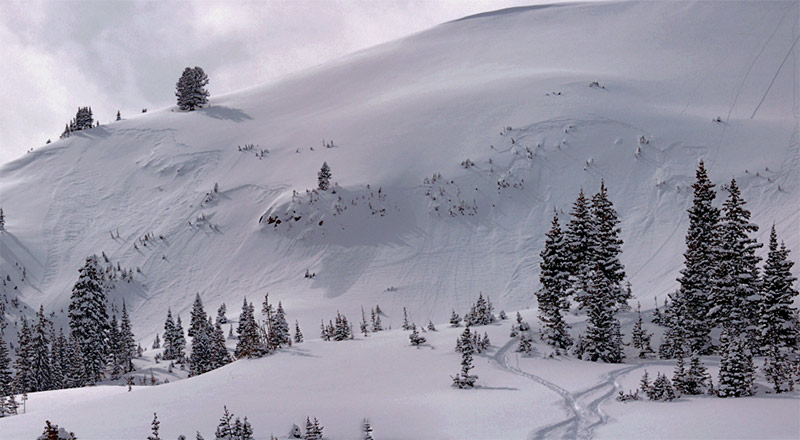
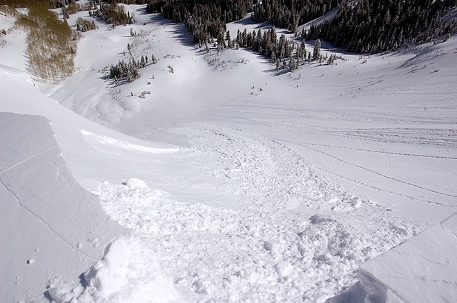
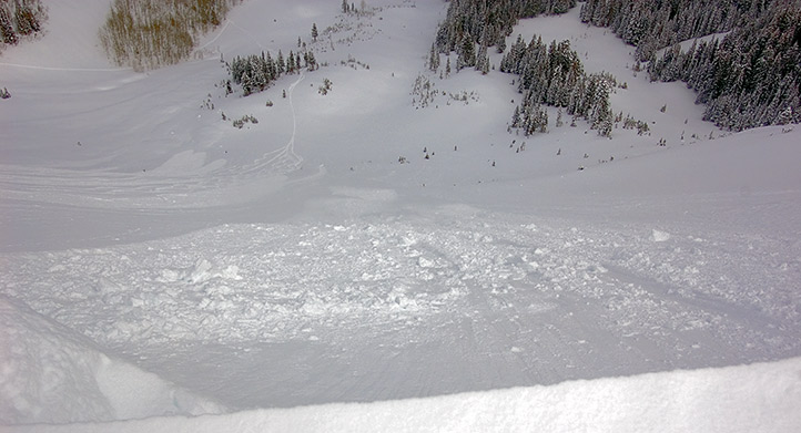
Natural slide skier’s far right, West Monitor.

Initiated midway down the slope at the break over.
Sluff slides and shallow soft slabs, with ski cuts and cornice drops.

One cornice drop after getting a bit close was about 80’ wide.

No other activity observed.
Slopes skied:
Two in West monitor skier’s left, one in South Monitor skier’s left and Wills Hill.
Snow surface and conditions:
6”-8” most recent overnight snow over a variable base ranging from another foot of settled to a crusted base under the new on sun exposed. Snow was set up with somewhat denser snow over the lighter density from yesterday. This did produce natural activity in West Monitor.
Mid day clouds and warm temperatures were green housing, producing further settlement and quickly crusting some aspects when it cooled back down. Large cornice lines formed from the west winds and these were quite sensitive in some areas. There was also some drifting both near the ridges and scattered down on the lee slopes.
Weather:
Sunny in the morning with mid day clouds increasing to overcast. Winds picked up in the afternoon from the west, gusting to near 20 mph. Mild temperatures, quite a bit warmer than yesterday.
Evaluation:
New snow on lee aspects was sensitive in the morning decreasing in sensitivity during the day. Another bridge was added, further complicating the puzzle of when if and where the deeper weaknesses are active. I would expect most avalanches to remain within upper snow layering and bonding of new snow with the present surface is dependent on temperatures and densities of the forecast snow.
© wowasatch.com